/ Academic Expertise & GIS Technology
Engineered Canopy & Land Solutions
Silvitech deploys TNAU-trained forestry graduates and advanced multispectral drone mapping to execute complex ecological restoration, tree transplantation, and geospatial land surveys across South India.
Technical Portfolio
Our Nine Core Capabilities
Scientific land management executed to rigorous academic and technical standards for government agencies, corporate CSR partners, and private estates.
Forest Consultancy
Tree Transplantation
Geospatial Services
Agroforestry advisory, carbon stock assessment, and CSR project execution backed by Forest College and Research Institute science.
Professional root burlapping techniques and crane-assisted relocation to preserve mature specimen trees during infrastructure development.
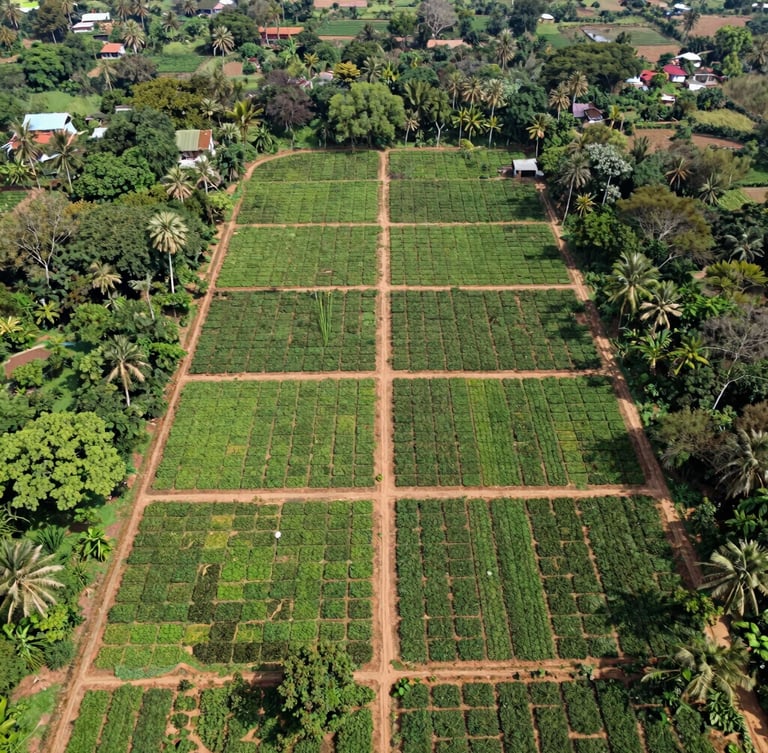
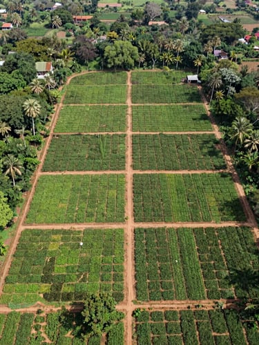
Precision GIS mapping, forest boundary surveys, and drone-based biomass estimation for accurate spatial land intelligence.
Eco-Restoration
Landscaping & Gardens
Multipurpose Nursery
Re-establishing ecological integrity on degraded industrial sites using native tree plantations and soil remediation protocols.
Scientific landscape architecture and sustainable garden development for institutional campuses and industrial parks.
Propagation of high-yield timber saplings and native species engineered for South Indian soil and climate conditions.
Biomass Briquettes
Wild Honey Products
Woods & Timber
Production of high-calorific biomass briquettes and pellets, converting agricultural residues into clean industrial fuel.
Ethically sourced, sustainably harvested wild forest honey that supports local tribal communities and biodiversity.
Legally sourced, high-grade commercial timber and structural wood supply chains for construction and manufacturing.
Our Workflow
The Scientific Workflow
Site Assessment & GIS Mapping
Ecological Planning
Precision Execution
Monitoring & Valuation
Our TNAU-backed consultants draft species-selection matrixes and architectural plans customized for local hydrology.
We implement native planting, technical root burlapping, or biomass systems using scientific forestry protocols.
Continuous drone-based canopy analysis ensures precise carbon stock assessment and biomass estimation over time.
We deploy multispectral drone surveys and collect core soil samples to establish absolute baseline spatial and ecological data.
Ready to consult?
Connect with our TNAU-trained lead forestry consultants to discuss your specific project parameters.